 Seoul City Guide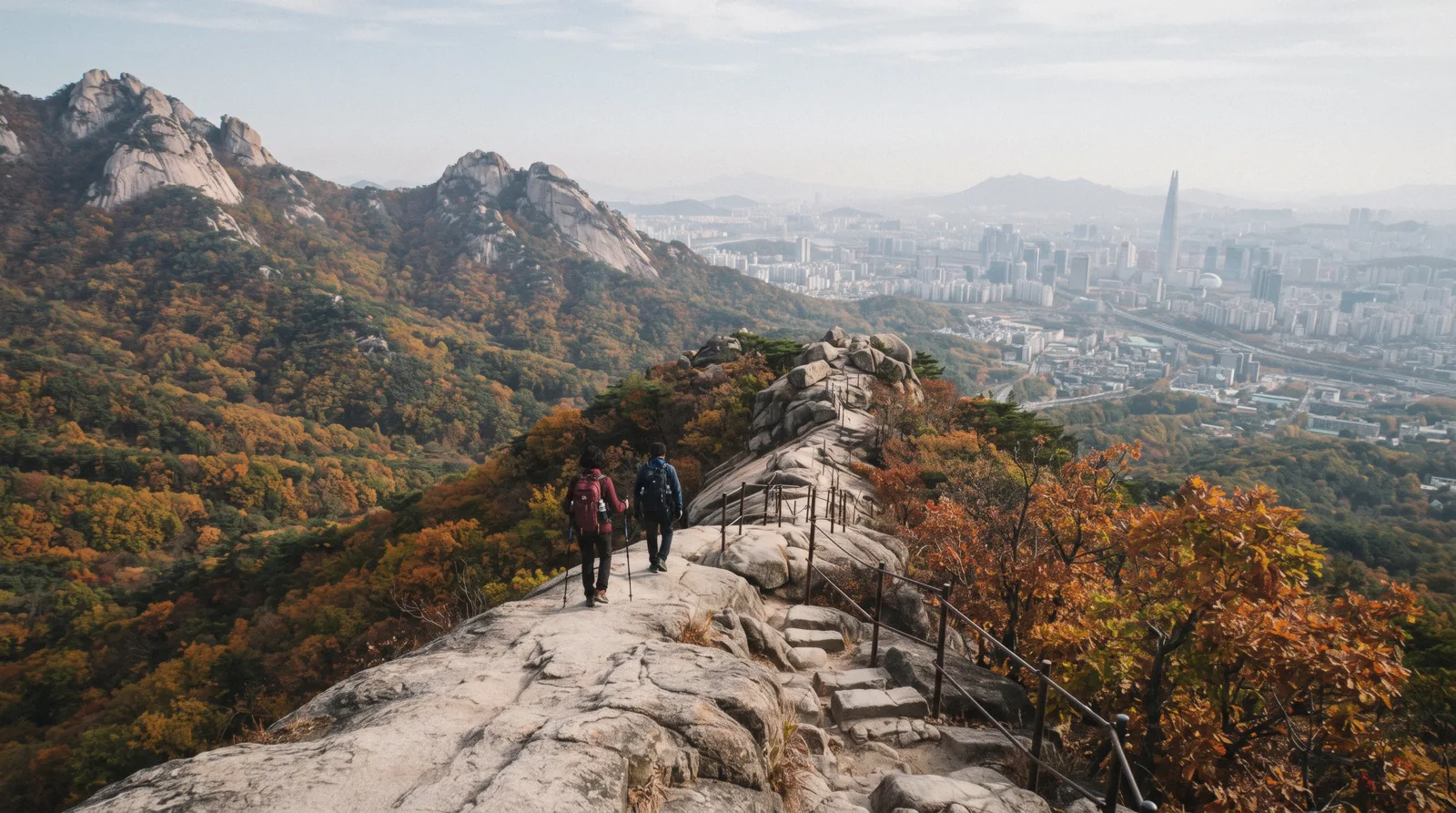
Bukhansan: a National Park Inside the City Limits
Bukhansan National Park sits inside Seoul's city boundary, reachable by metro and bus in under an hour, with granite peaks above 800 metres and a Joseon-era fortress wall along the ridge. This page carries the trails, the times, the equipment reality and when the mountain is closed. The rest of the city is covered in things to do in Seoul.
Quick answer Free, an hour from the palaces, and steeper than it looks
Bukhansan is a national park inside Seoul: granite peaks, pine forest, temples and a fortress wall, with the city visible below from most of the ridge. Baegundae, the highest point at 836 metres, takes four to five hours return from the usual trailheads and finishes with a stretch of bare rock and fixed cables. Entry is free, the buses run from two metro lines, and half of Seoul is up there on an autumn Saturday.
Key takeaways
- Go on a weekday. Korean hiking culture is enormous and autumn weekends genuinely queue at the summit ropes.
- Proper shoes. The granite is smooth, the last section is steep, and trainers are the reason most rescues happen.
- Short on time or legs? The city wall trails inside town give ridge views for a fraction of the effort.
Key facts
Opening hours
| Trails | dawn–dusk |
|---|
Closed Sections close during spring and autumn fire-prevention periods and after heavy rain or snow — check the park notices before setting out.
Planning it
- Time needed
- Four to five hours for Baegundae; two for a fortress-wall walk
- Address
- Bukhansan National Park, northern Seoul — Bukhansan Ui (Ui LRT) or Gupabal (Line 3) plus a short bus
A Mountain With a Metro Stop
Bukhansan covers about eighty square kilometres across the northern edge of Seoul and into Gyeonggi province, and it is one of the most visited national parks in the world by area — which tells you how much Koreans hike.
The geology is what makes it striking: exposed granite domes rising out of pine and oak forest, with three main summits — Baegundae at 836 metres, Insubong and Mangyeongdae — forming the skyline visible from most of northern Seoul.
The fortress, Bukhansanseong, runs along the ridge: a Joseon-era wall with gates, rebuilt in 1711 as a refuge for the court in the event of invasion. Sections of it are walkable and it links several of the trails.
There are temples throughout the park, some of them small hermitages on the slopes, and the trails pass through them rather than around them.
Which Trail, and How Long
The routes a visitor is most likely to take, with return times at an ordinary pace including stops. Times are what the trailhead signs and the park's own estimates indicate, checked in Q3 2026.
| Route | Return time | Difficulty | Getting there |
|---|---|---|---|
| Baegundae via Doseonsa | 4–5 hours | Steep final section on bare rock with fixed cables | Bukhansan Ui station, then a short bus |
| Bukhansanseong fortress route | 3–4 hours | Steady climb, stone steps, gates along the ridge | Gupabal station, Line 3, then bus |
| Dobongsan | 4–5 hours | Rocky scrambling near the top | Dobongsan station, Line 1 |
| Ui valley walk | 2 hours | Easy, forest and stream, no summit | Bukhansan Ui station |
Baegundae is the one people mean by 'climbing Bukhansan'. The final approach is bare granite with fixed ropes and it is genuinely exposed — comfortable in dry weather, unpleasant in rain, dangerous in ice.
What to Take, and What It Is Actually Like
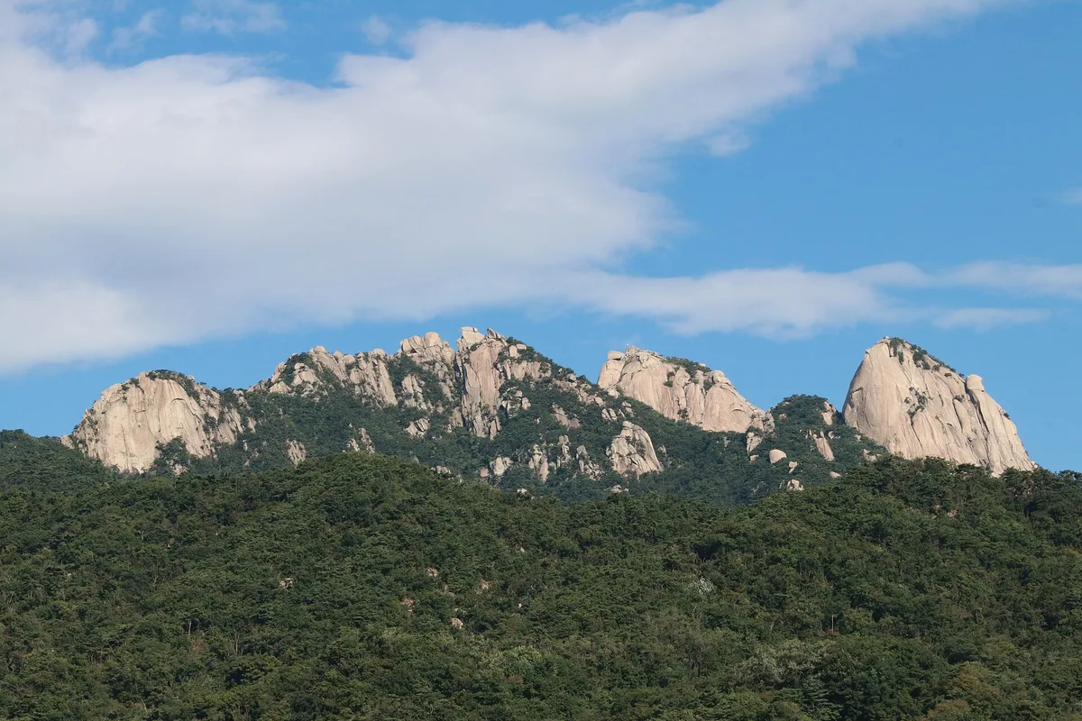
Photo: Jo Hanshin, CC0, via Wikimedia Commons (http://creativecommons.org/publicdomain/zero/1.0/deed.en)
Korean hiking is a serious hobby with a serious retail sector attached, and you will be overtaken by people in full technical kit carrying poles and a flask of makgeolli. You do not need any of that, but you do need shoes with grip: the granite is polished smooth in the popular sections and it is unforgiving when wet.
Water matters more than food. There are springs and shops at the trailheads, and vendors at some junctions, but the ridge itself has nothing. Two litres in summer is not excessive — July and August on an exposed granite slope in Seoul humidity is hard work.
The park service posts seasonal opening and entry cut-off times at each trailhead, and closes sections during the spring and autumn fire-prevention periods and after heavy weather. Check the notices at the trailhead rather than assuming a route is open.
Mobile coverage is good across most of the park, which is unusual for mountains and useful. Naver Map handles the trails; Google does not.
When to Go
Late October and early November for the foliage, and expect company: autumn hiking is a national event, and the popular routes on a Saturday move at the pace of the slowest person on the rope.
Spring is quieter and greener. Summer is hot, humid and thundery, and the monsoon in late June and July closes trails after heavy rain. Winter is clear and beautiful and requires crampons on the upper sections — the granite ices and people are injured every year assuming otherwise.
A weekday in any season is a different mountain from a weekend. If your trip allows a Tuesday hike, take it.
The pairing that makes the day: a morning on the mountain and an afternoon in a jjimjilbang. That is what Koreans do, and it is the correct answer.
What It Costs to Walk It
Korea's national parks charge no entry fee; what you can buy is a guided walk. Park access from the national park service, partner prices from GetYourGuide.
Do you want the mountain, or do you want somebody who knows which trailhead is open today?
| Option | Price | What it gets you | Notes | Book |
|---|---|---|---|---|
| Walking the trailsConfident walkers with a weather forecast and four hours | Free | 4–5 hours for Baegundae | Seasonal fire closures apply | Official site |
| Guided city-wall hikeAnyone who would rather not route-find across eighteen kilometres of wall alone | from $88 | 5–9 hours | Free cancellation 24 h before | Check Availability |
Official ticket-office links are not affiliate links.
Bukhansan on the Map
Pinned at the entrance, with the pages for what is nearby.
After the Mountain
Three things that follow a Bukhansan morning.
Jjimjilbang
Hot pools and a scrub after a descent: how a Korean bathhouse works.
- ₩10,000–₩20,000
- Two to three hours
- Open late
Seoul City Wall
The gentler version of the same idea, inside the city: the city wall trails.
- Free
- 2–3 hours a section
- Ridge views over the palaces
Bukchon and the palaces
The northern districts sit at the foot of the mountains: Bukchon Hanok Village.
- Free
- Lanes open 10:00–17:00
- Ten minutes from Gyeongbokgung
Guided Walking and Hiking
Listings that put a guide on a Seoul walking route. Ratings and prices are the operators' own figures.
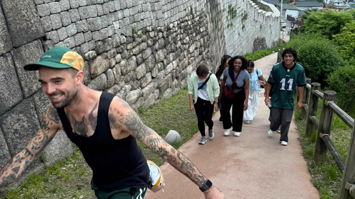 from $87.77
Seoul City Wall Hike: 18km Full Completion or Half Adventure
“Is this really Seoul? ” Walk forest trails and city paths on the Seoul City.
Check Availability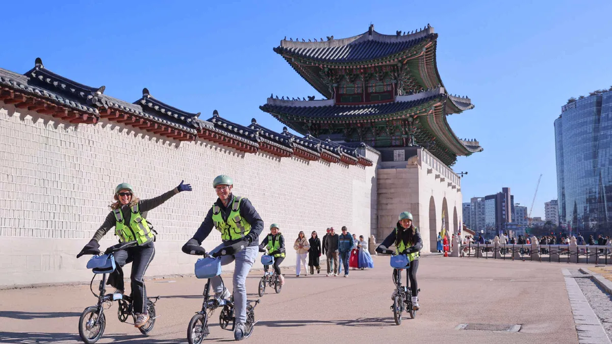 from $126.54
Seoul: City Highlights eBike Tour
Glide through the city of Seoul by e-bike. You will ascend to viewpoints overlooking the city to take in all of Seoul's beauty, culture, and history in one thrilling.
Check Availability from $87.77
Seoul: Korean Spa & Massage in Myeongdong
Experience a traditional Korean spa and sauna at Myeongdong Mud in Seoul. Enjoy a body scrub, massage by professional therapists, a hanjeungmak sauna session, and relaxation in a peaceful.
Check AvailabilityPrices, ratings and details are the platform's own. Dollar figures are the listed prices. The platform bills in your account's currency.
Bukhansan Questions
Is Bukhansan National Park free?
Yes. Korea's national parks charge no entry fee, and Bukhansan is reachable on an ordinary transport card from central Seoul.
How long does it take to climb Bukhansan?
Four to five hours return for Baegundae, the highest peak at 836 metres, at an ordinary pace with stops. The fortress-wall route is three to four hours and the Ui valley walk about two.
How hard is the Baegundae hike?
Moderate until the last section, which is bare granite with fixed cables and is genuinely steep. It is fine in dry weather with proper shoes and unpleasant in rain or ice.
How do I get to Bukhansan from Seoul?
Bukhansan Ui station on the Ui LRT for the Doseonsa side, Gupabal on Line 3 plus a bus for the fortress route, or Dobongsan on Line 1 for the eastern peaks. All are under an hour from the centre on a transport card.
When is the best time to hike Bukhansan?
Late October and early November for the foliage, on a weekday if possible — autumn Saturdays queue at the summit ropes. Winter needs crampons on the upper sections.
Are the trails ever closed?
Yes. Sections close during the spring and autumn fire-prevention periods and after heavy rain or snow, and the park posts seasonal entry cut-off times at each trailhead.
Bukhansan on Video
The Baegundae trail filmed — the granite section at the top is the part to preview.
BUKHANSAN NATIONAL PARK - Baegundae Peak: The Seoul Challenge | Hiking Seoul's Highest Peak
Video: GraceEscapesSolo Hike to the Top of Seoul! 🇰🇷 Bukhansanseong
Video: Backpacking BananasI Climbed SEOUL's Tallest Mountain (IT WAS TERRIFYING) | Bukhansan National Park
Video: Wanderlust WellmanVideos are other people's work, embedded for context; nothing here is sponsored.
Prices, hours and terms are set by the venue or operator and confirmed at checkout.
We may earn a commission if you book through one of our links, at no extra cost to you. Full affiliate disclosure